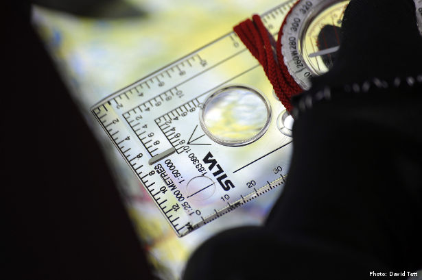
You might think that if you want to get to the North Pole, you could simply follow your compass which always points north. Unfortunately, it’s not that simple. Below are a few navigational aids commonly used on the Arctic Ocean.
UPDATE: Download a copy of my new ebook How To Get To The North Pole now >>
[divide]
Compass
This can be used but it will point at the Magnetic North Pole rather than the Geographic North Pole so you need to account for the significant variation. The needle also tends to jump around when you are that far north.
GPS
This is the standard means of pinpointing oneself. Indeed, it is the only realistic way you will know when you have reached it. The problem is that they tend to require batteries which drain rapidly in the cold and can be fiddly to use with big gloves on.
Wind direction
Prevailing winds tend to be fairly consistent and can provide a more practical cue for maintaining direction than relying on compass and GPS. Attaching ribbon to a ski pole is an easy way to monitor this.
Your shadow
During the day, another simple method for work out direction is to use your shadow as a sun dial.
The northern experts, like the Inuit, have learned to find their way using the sastrugi, the ice ridges that have been sculpted by the wind. Each wind chisels the ice and gives it recognisable character in the shape of the ridges it forms. The Inuit remember this by giving each wind a character. They can then recognise the shapes in the ice and the ‘character’ that formed them, and therefore what direction the sastrugi lie in.”
– Tristan Gooley, author of the Natural Navigator.
Tristan has provided unique advice for the environment covered in each chapter of my book.
[divide]
Download a copy of my new ebook How To Get To The North Pole now >>
What do you think? Please do add your thoughts below…